EarthScope
15 years of Geoscience Discovery and Education in North America
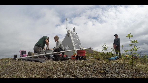
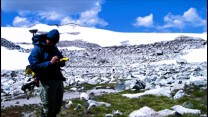
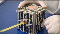
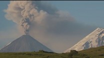
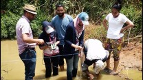
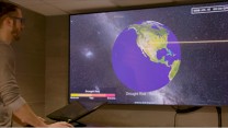
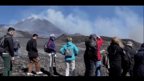
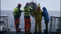
The National Science Foundation�s ambitious, 15-year EarthScope program examines the development and current structure of the North American continent with unprecedented resolution, using three observatories and thousands of seismic, GPS, and other instruments in the field. Hundreds of scientists have participated, using EarthScope�s freely available data for research. Highlighted are a few of the important outcomes from EarthScope: creating new, detailed, deep-earth images of the continent, helping understand its current movement and changes; drilling deep into the San Andreas Fault, expanding the understanding of how fault zones function; and applying high-resolution GPS in surprising new ways to monitor groundwater and surface water, including landscape changes due to drought. After the EarthScope program officially ends, legacy products such as the Flyover Country app will feature EarthScope science to a broad audience. The EarthScope data will continue to be freely available for a new generation of Earth science researchers to plumb the depths of how the North American continent works.