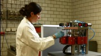
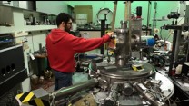
Through a NSF funded joint partnership between Oklahoma State University, University of Kentucky, University of Oklahoma, and the University of Nebraska-Lincoln, the CLOUD-MAP* project focuses on the development and implementation of unmanned aircraft systems (UAS) and their integration with sensors for atmospheric measurements. CLOUD-MAP seeks to address emerging data gaps and sampling needs in the atmospheric and environmental sciences across diverse geographic regions of the United States through the integration of pervasive and extensive measurements from novel autonomous systems with existing, disparate datasets to improve our understanding of weather and the climate as well as their associated modeling. Through the integration of diverse disciplines and student populations, this project provides early career faculty and trainees with unique opportunities to achieve science objectives and develop long-term multi-disciplinary collaborative relationships. CLOUD-MAP is showing the collaborators how UAS will revolutionize how we observe the world around us, improve our understanding of the physics of the atmosphere, increase forecasting accuracy, and save lives.
*Collaboration Leading Operational UAS Development for Meteorology and Atmospheric Physics
Comments:
No comments yet... Be the first!
Post your comment:
Your comment has been sent and is waiting for approval to be displayed.
Your comment cannot be sent. Please try again.
"By moving us beyond print, and even beyond the web in some ways, and having the Historians TV conference channels running throughout the conference and in the hotel rooms it really helps to give a sense that we're reaching into the future."